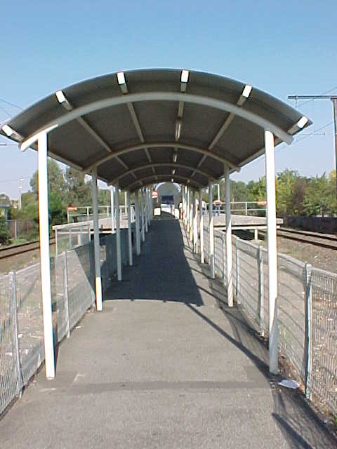
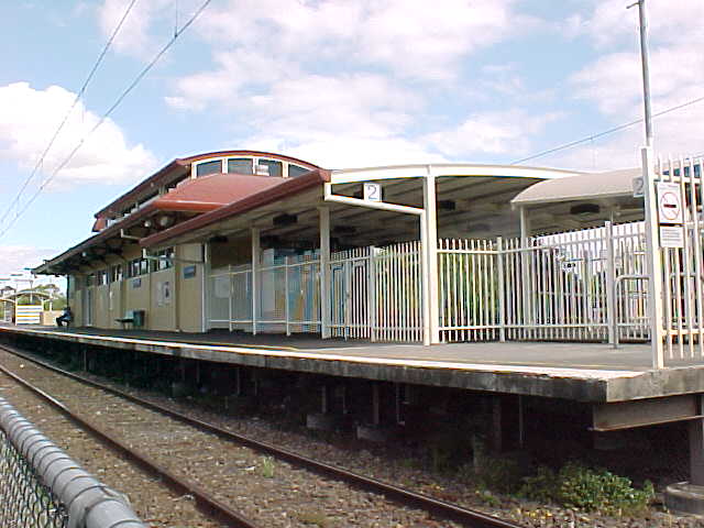
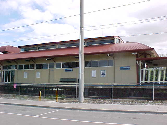
Found a few old photos which have Pakenham line level crossings in them on the
Casey Cardinia 'Links to our Past' blog.
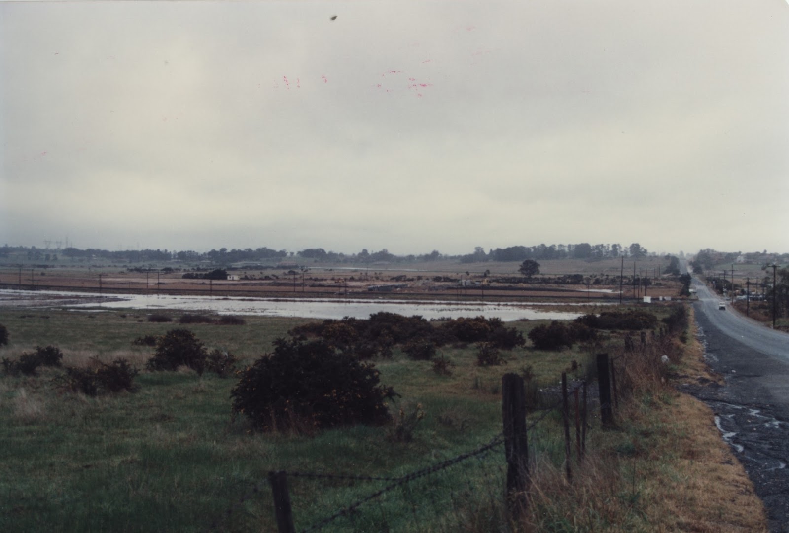
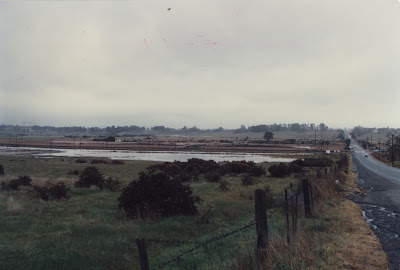
First off, is this picture was taken by The City of Berwick on July 29, 1987 showing the aftermath of flooding.
Click
here to see a larger version of this image.
You can make out the Hallam level crossing in the background on the right side of the image. You can't see any of the equipment, but I imagine the equipment is the same as it is today (which I'll get into shortly).
Here's the crossing on December 28, 2016. (Picture taken by me)
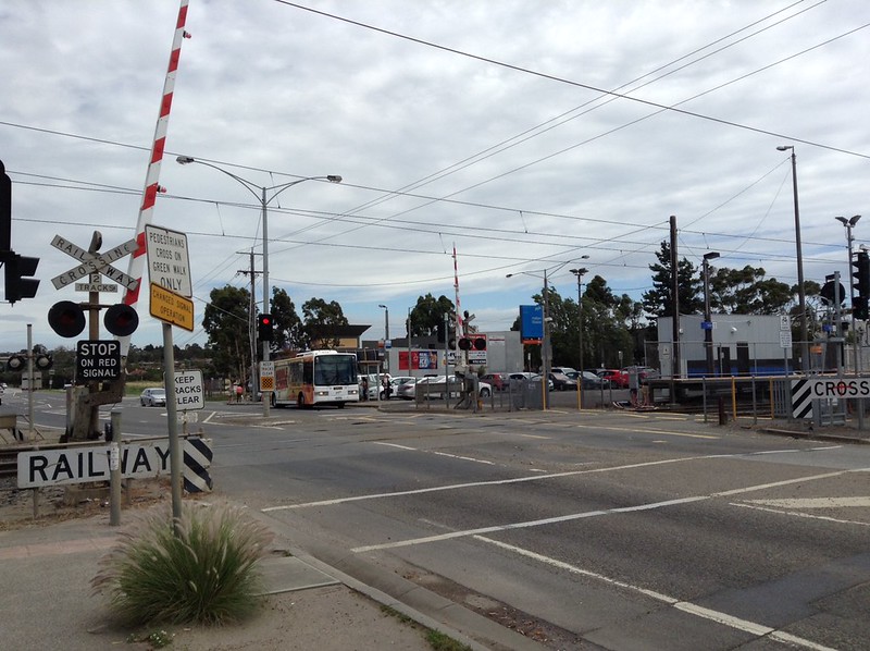
Aside from the red & white gates, an LED upgrade in 2006, and the original Westinghouse pedestrian boom barrier mechanisms being replaced with swing gates in late 2014/early 2015, this crossing still has the same equipment seen in that 1987 photo! Honestly, this is quite good for crossing that's over 30 years old.
However, there's been a major change in the landscape around the crossing. Over the past thirty years, the empty fields and paddocks around the road have been replaced with commercial and industrial buildings.
https://www.google.com.au/maps/@-38.017 ... 312!8i6656
Here's an old scan of the area from the 1987 edition of the Melways.
https://digitised-collections.unimelb.e ... quence=129
You can see that the nearby suburb of Hampton Park has already developed quite a bit at the time, but the area north of Centre Road had yet to built up.
Before we move on, here's two bonus pictures taken by Weston Langford showing off the inaugural suburban service from Pakenham approaching the station & level crosing in 1975. At the time, this crossing was gateless and had a McK&H Teardrop bell.


The next crossing is
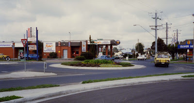
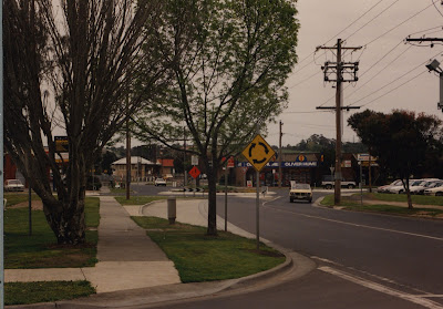
on the site. Located at Webb Street, Narre Warren. Here's two pictures of the said street from the early 1990's (according to the blog, the first image is from 1992), you can see the crossing in the background. (The street name comes from the Webb family, early settlers of the area)
Click
here and
here to see larger versions of these images.
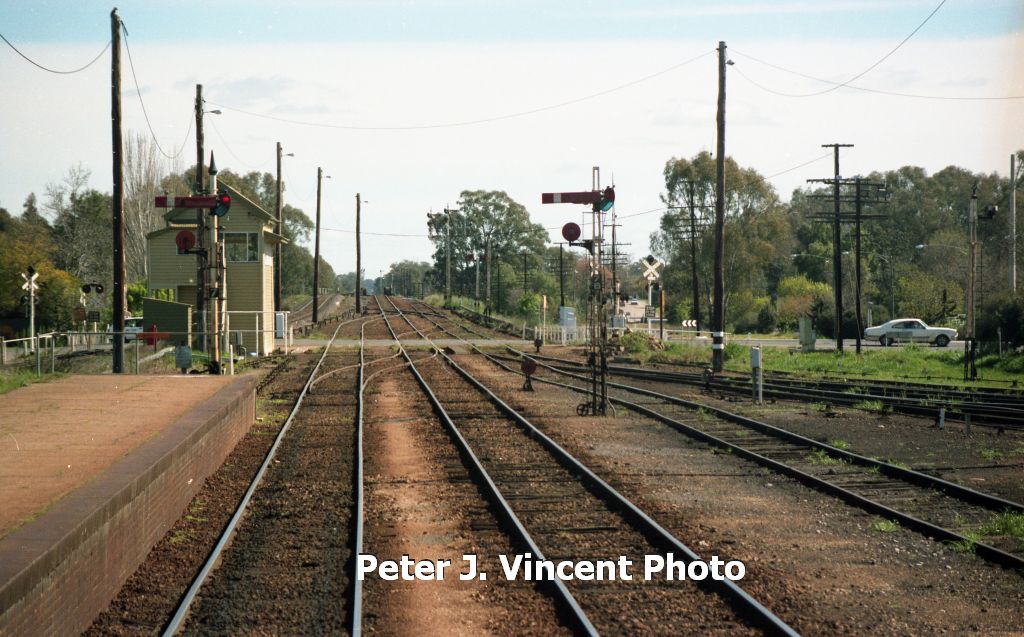
From what we can make out, this crossing had black and white gates and McK&H gate mechs (pretty much the same as the WRRS ones').
Here's the crossing in 2010, at the time, this crossing had incandescent lights & Westinghouse hybrid bells. The old black & white gates had also been replaced several years before.
https://www.google.com.au/maps/@-38.027 ... 312!8i6656
In 2012, the crossing was upgraded with LED lights & e-Bells. However, the crossing still retains the original gate mechs!

Here it is in October 2016.
https://www.google.com.au/maps/@-38.027 ... 312!8i6656
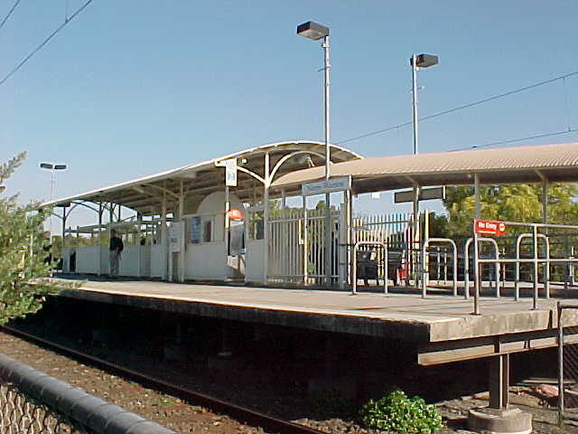
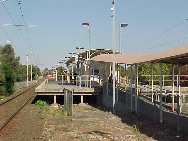
You may notice the old signal box and station in the background of the second image. Narre Warren station was moved to the opposite side of this crossing in 1995. Originally, the rebuilt station only had basic waiting facilitates (similar to those at Officer & Hallam stations')...
http://www.vicrailstations.com/Orbost/N ... arren1.jpg
http://www.vicrailstations.com/Orbost/N ... arren2.jpg
http://www.vicrailstations.com/Orbost/N ... arren3.jpg
In 2004, the station was upgraded to premium status (staffed from first to last train) and a new station building was built (same style as Berwick & Cranbourne stations'). The station remains the same today.
http://www.vicrailstations.com/Orbost/N ... arren4.jpg
http://www.vicrailstations.com/Orbost/N ... arren8.jpg
Another crossing on the opposite side of the current station used to exist (Cranbourne Road), but was replaced with an underpass in 2004 (with the road widened at the same time).
https://www.google.com.au/maps/@-38.028 ... bfov%3D100
Now, I did a post on the McGregor Road, Pakenham crossing earlier in the thread, but I found a picture of this crossing from 1983 taken from where the old shires' offices are. (Excuse the size of the image)
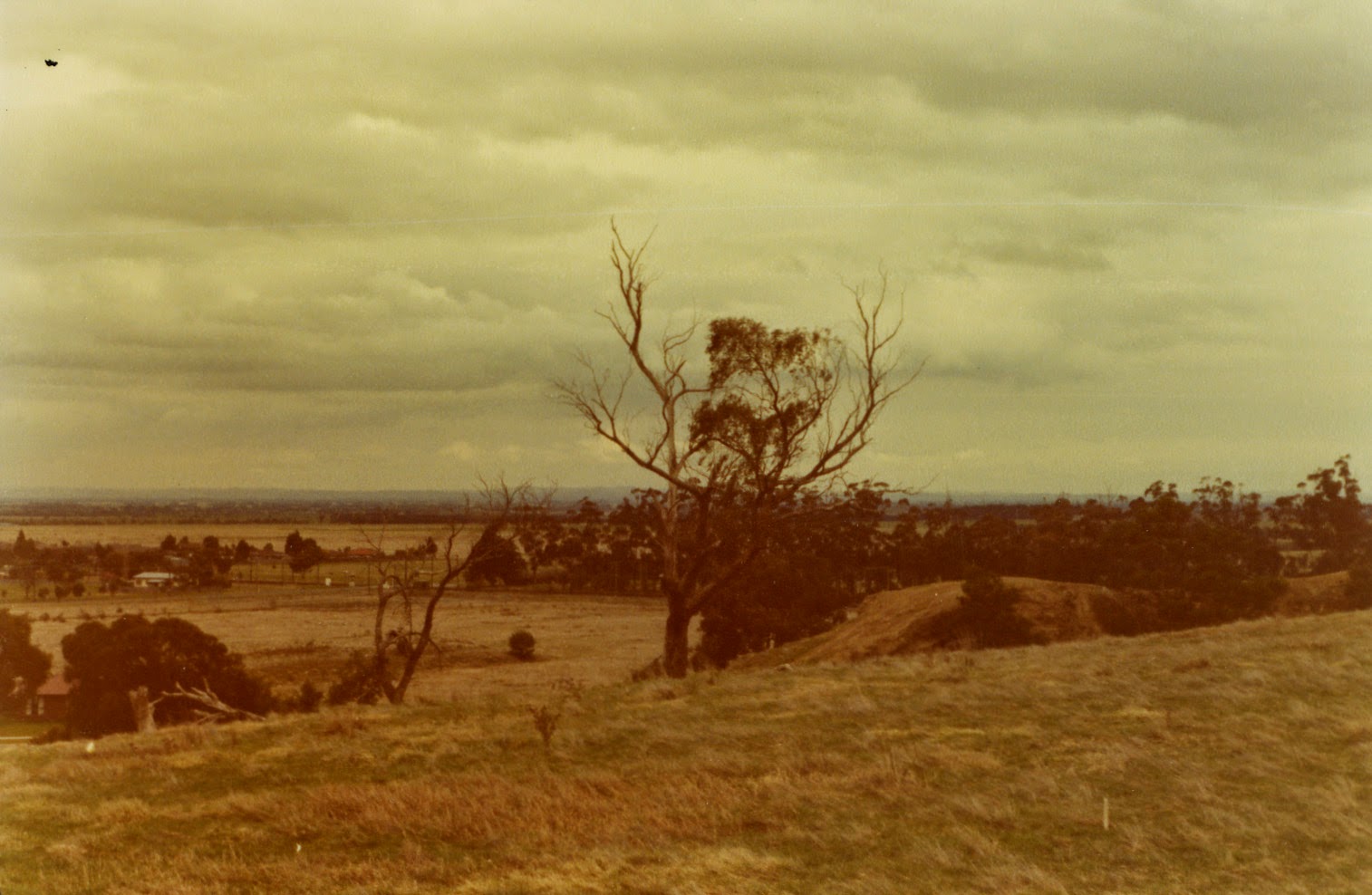
You can make out the crossing in the background on the left side of the image. At the time, this crossing was only a flashing lights setup (installed in December 1974).
The current boom gates were only installed three years after this was taken, but this signal was reused from the previous setup.
https://www.google.com.au/maps/@-38.078 ... 312!8i6656
Here's the area where this image was taken from. As you can tell, the whole area has been developed with houses over the past few decades.
https://www.google.com.au/maps/@-38.073 ... 312!8i6656
Here's a 1993 Melways map of Pakenham & nearby Officer.
Page 215 (Cardinia Road):
https://digitised-collections.unimelb.e ... quence=251
Page 216 (McGregor Road, Main Street, Racecourse Road):
https://digitised-collections.unimelb.e ... quence=252
The area south of the rail line and the McGregor Road crossing didn't start developing until around the early 2000's. You'll also notice that Cardinia Road was also marked as 'Unsealed' and a regional cemetery was also proposed nearby at the time.
The 2008 Street view image for Cardinia Road still shows mostly empty fields and paddocks, though the roadway had been sealed at that point.
https://www.google.com.au/maps/@-38.071 ... 328!8i1664
But by 2014, the area had changed significantly! The whole crossing was pretty much surrounded by housing estates.
https://www.google.com.au/maps/@-38.071 ... 312!8i6656
A train station (conveniently named 'Cardinia Road') was also built and opened in 2012 to serve the local area, so residents don't have to drive to Pakenham station (located after the Main Street crossing).
https://www.google.com.au/maps/@-38.070 ... 312!8i6656
https://www.google.com.au/maps/@-38.072 ... 312!8i6656
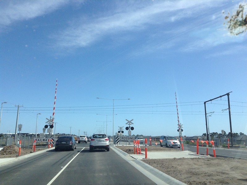
Just last year, the road was duplicated to four lanes (two in each direction). This saw the previous setup (dating back to 1986) replaced with brand new signals.
That's all I've got for you today!